The Porkies are Michigan’s largest state park: about 60,000 acres of old-growth hardwood forest, rocky escarpments, rivers and wild Lake Superior shoreline, with more than 90 miles of hiking trails. From Big Powderhorn you can reach the west end of the park in about an hour and the famous Lake of the Clouds overlook in about an hour and a half, which makes for a full, easy day trip.
Quick answer: The Porcupine Mountains Wilderness State Park is about an hour’s drive from Big Powderhorn. In one day you can see Lake of the Clouds, walk to Presque Isle River waterfalls and drive the park road along Lake Superior. A Michigan Recreation Passport is required.
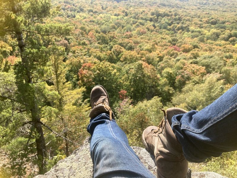
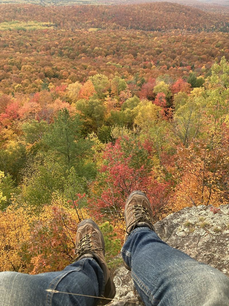
The view everyone comes for: a long blue lake cradled in a valley of unbroken forest, seen from the top of a cliff. The overlook is a short, paved walk from the parking lot, and it’s spectacular at peak fall color.
Stop02
West end · County Road 519
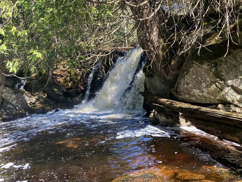
Presque Isle River falls
Three named falls, Nawadaha, Manido and Manabezho, in the last mile of the river, linked by a loop trail with boardwalks and a footbridge near the Lake Superior shore.
A short, steady climb through big hardwoods leads to a wooden tower near the highest point in the Porkies. On clear days you can see across the forest to Lake Superior.
Stop04
Wild shoreline
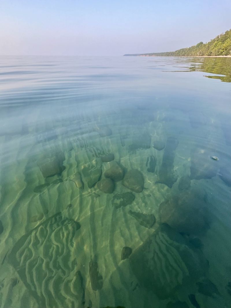
Lake Superior beaches
Pebble and sand beaches line the park’s Superior shore. The river mouth at Presque Isle is a favorite spot for a picnic and a sunset.
Drive times from Big Powderhorn
Getting to the Porkies
West end: Presque Isle
About an hour. Take US-2 east to Wakefield, then County Road 519 north to the Presque Isle River. The road winds through deep forest, so take it slow and watch for deer.
East end: Lake of the Clouds
About an hour and a half, east through Wakefield and Bergland, then north to Silver City and west on M-107 to the overlook.
Across the park
In summer and fall, South Boundary Road links the two ends of the park through the forest, past the Summit Peak road. Plan on a slow, scenic drive.
Passes
A Michigan Recreation Passport is required for every vehicle in the park. Michigan residents can add it when renewing their plates. Out-of-state visitors buy one at the park.
Lace up
Best Porkies hikes
Lake of the Clouds overlook
A few hundred feet on pavement from the parking lot. Easy, and worth it in any season the road is open.
Escarpment Trail
The park’s signature ridge hike, about four miles one way along the cliffs above Lake of the Clouds, with views most of the way. Arrange a shuttle or hike out and back.
Presque Isle River loop
About two miles around both banks of the river and its three waterfalls. Boardwalks and stairs make it moderate. Expect roots and wet rock.
Summit Peak
About a mile round trip to the observation tower near the park’s highest point. A good leg-stretcher on a South Boundary Road drive.
Carry water, a map and bug spray in summer. Cell service is limited or absent in much of the park. More trails in the hiking guide →
How far are the Porcupine Mountains from Ironwood?
The Presque Isle River end of the park is about an hour from Ironwood and Big Powderhorn, by way of Wakefield and County Road 519. Lake of the Clouds is about an hour and a half.
Do you need a pass for the Porcupine Mountains?
Yes. Every vehicle needs a Michigan Recreation Passport. Michigan residents can buy it with their license-plate renewal, and nonresidents can buy one at the park.
Can you see Lake of the Clouds without a long hike?
Yes. The overlook is a short, paved walk from its parking area at the end of M-107.
Is a Porkies day trip from Big Powderhorn worth it?
Absolutely. Leave early, hike the Presque Isle River falls in the morning, drive South Boundary Road past Summit Peak, catch the Lake of the Clouds overlook in the afternoon and be back at your chalet for dinner.