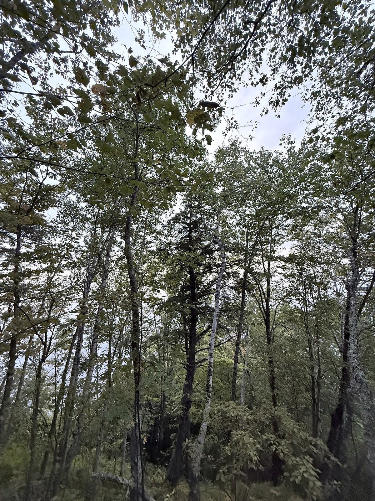
Hiking & bikingTrails in the western Upper Peninsula
Check dates and prices
or call 800-501-7669On foot and by bike
Big woods, rivers and ridgeline views
The western U.P. has trails for every kind of day, from a five-minute walk to a waterfall to multi-day backpacking in the Porcupine Mountains. The North Country National Scenic Trail runs right through the area, the Iron Belle Trail starts in Ironwood, and the Ottawa National Forest wraps around it all.
Quick answer: The best hiking near Big Powderhorn is on the Black River waterfall trails and the North Country Trail through the Ottawa National Forest. Most waterfall walks are under a mile round trip; longer days follow the river or the Lake Superior shore.
Updated
Pick your distance
Hikes near Big Powderhorn
- Easy · under a mile
- Potawatomi and Gorge Falls on the Black River, with a barrier-free path to the first platform. Lake of the Clouds overlook in the Porkies. Superior Falls overlook near Little Girl’s Point.
- Moderate · 1–3 miles
- Great Conglomerate Falls, Sandstone and Rainbow Falls on the Black River. The Presque Isle River loop in the Porkies. The Summit Peak tower.
- Big day · 4–10 miles
- The North Country Trail from Black River Harbor along the river and the Lake Superior bluffs. The Porkies’ Escarpment Trail above Lake of the Clouds.
- Wilderness
- Backcountry trails in the Porkies and the canoe-country lakes of the Sylvania Wilderness near Watersmeet, about an hour east.
Trail-by-trail detail: our Black River hiking guide covers every Black River trail and its stairways.
4,800 miles, and a great stretch here
The North Country Trail
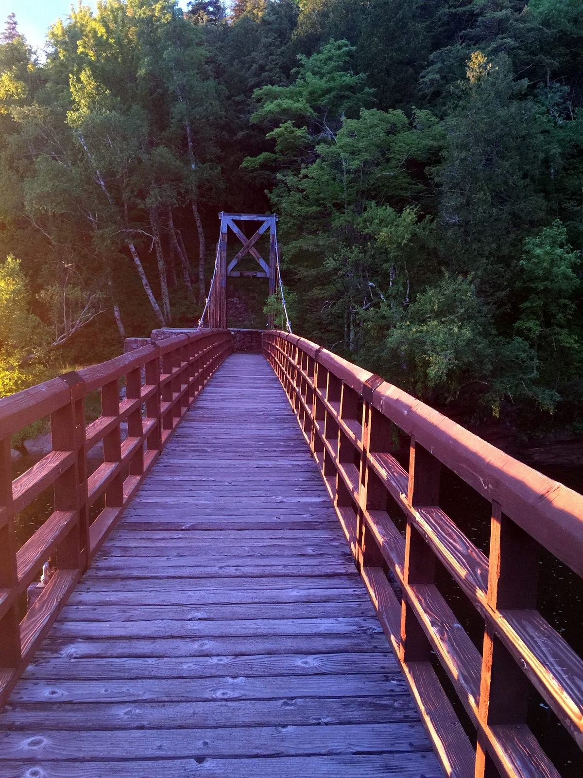
The North Country National Scenic Trail runs from North Dakota to Vermont, and one of its most beautiful sections passes right through the western U.P. At Black River Harbor it crosses the river on the suspension bridge and follows the river gorge past Rainbow Falls, then climbs to bluffs above Lake Superior.
For a classic day, walk south from the harbor along the river, past the falls, and come back the same way. In midsummer the trail is lined with ripe thimbleberries, a soft red berry that grows wild all over the Lake Superior shore.
Farther east the trail runs through the Porkies and the Ottawa National Forest, past O Kun de Kun Falls and on toward the Keweenaw. Blue blazes mark the way.
Two wheels
Biking in the western U.P.
The Iron Belle Trail
Michigan’s longest designated state trail starts in Ironwood and runs all the way to Belle Isle in Detroit. Pick a stretch near town for an easy family ride, or keep pedaling east.
Mountain biking
Singletrack trail systems wind through the hills around Ironwood and Bessemer, including trails at Ironwood’s Miners Memorial Heritage Park, a city park built on old iron-mine land.
Road and gravel
Quiet county roads and forest roads lead to the Lake Superior shore, Lake Gogebic and the Porkies. Watch for logging trucks and deer, and carry a repair kit: services are far apart.
Fat biking
In winter, groomed trails open up for fat bikes in the hills around Ironwood. See the winter guide.
Know before you go
Be prepared
- Bugs
- Mosquitoes and black flies peak in early summer. Bring repellent and a head net for longer hikes in June.
- Ticks
- Check for ticks after every hike, especially in tall grass and brush.
- Cell service
- Spotty to none in much of the forest and the Porkies. Download maps before you leave the chalet.
- Wildlife
- Black bears, wolves and moose live here. Give them space, keep food packed away and keep dogs leashed.
- Weather
- Lake Superior makes its own weather. Pack a rain layer and a warm layer even on summer days.
- Stairways
- Many waterfall trails use long wooden stairs. They’re steep and slick when wet or icy.
Where to stay
Trail-ready lodging, dogs welcome


Good to know
Hiking questions
What is the best hike near Ironwood, Michigan?
The North Country Trail from Black River Harbor, along the Black River gorge past Rainbow Falls, is a local favorite, and it’s about 25 minutes from Ironwood. For big views, the Escarpment Trail above Lake of the Clouds in the Porkies is about an hour and a half away.
Are there easy, family-friendly hikes?
Yes. Potawatomi Falls has a barrier-free path to its first viewing platform, and Gorge Falls is a short walk beyond it. The Lake of the Clouds overlook is a short paved walk.
Where does the Iron Belle Trail start?
In Ironwood. Michigan’s Iron Belle Trail runs from Ironwood in the western U.P. to Belle Isle in Detroit.
When do thimbleberries ripen?
Usually from mid-July into August. They grow wild along the North Country Trail and the Lake Superior shore.