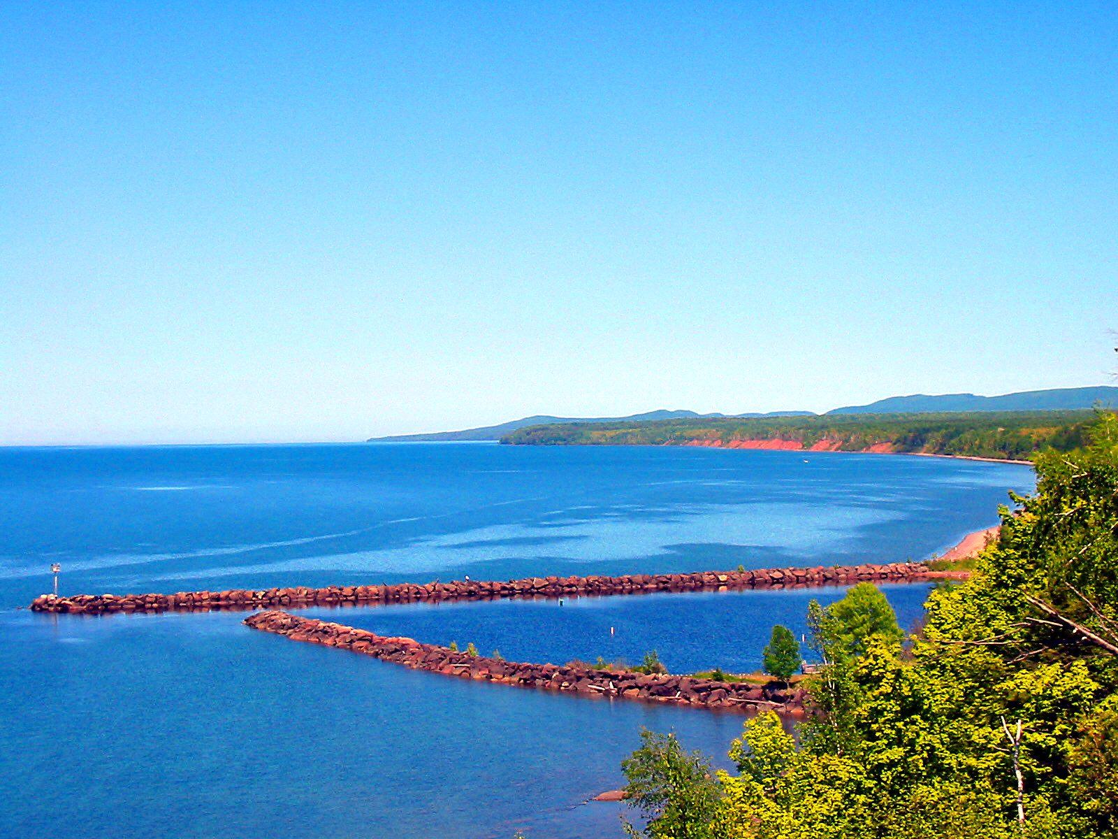
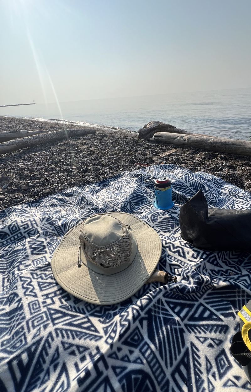
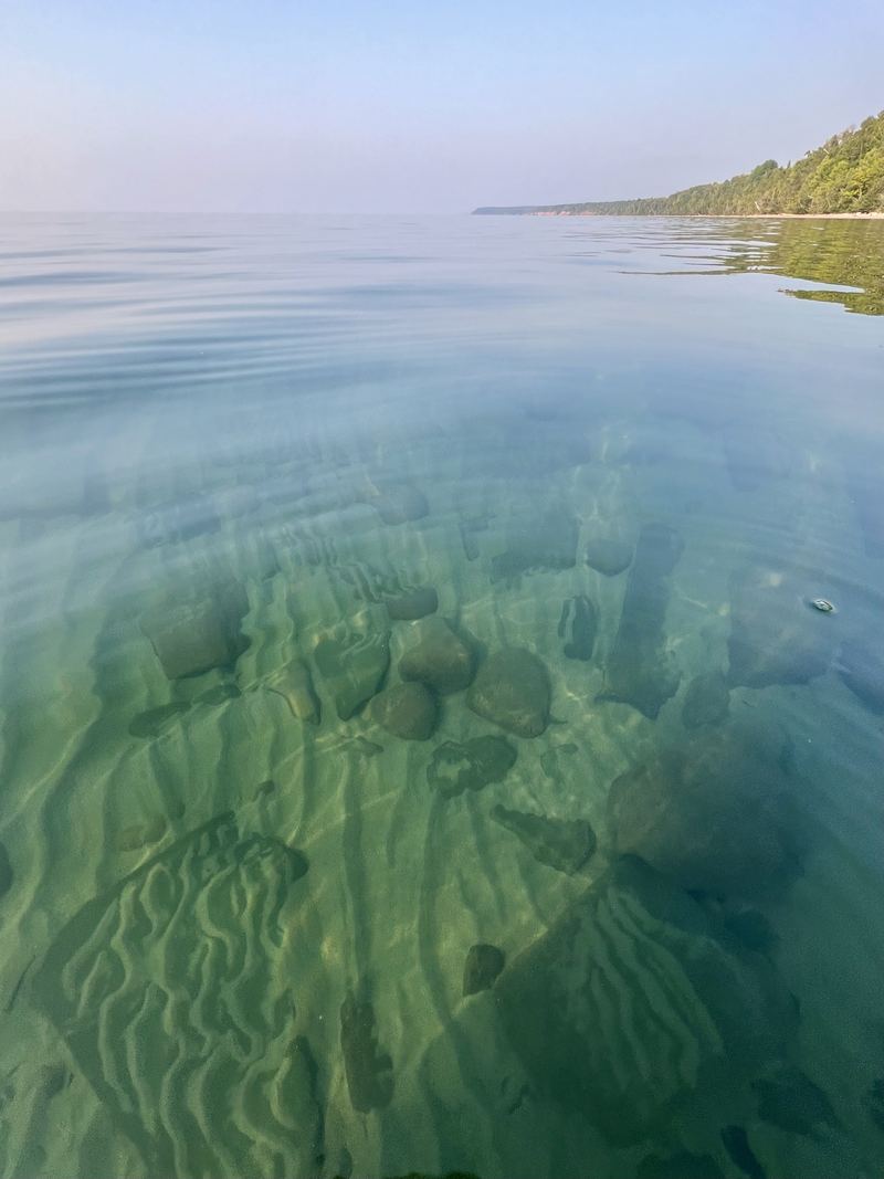
Lake Superior is the reason for almost everything here, from the lake-effect snow to the cool summer breezes and the waterfalls that drop into it. The south shore west of the Porcupine Mountains is wild and lightly visited: long beaches of sand and polished stone, clear cold water and sunsets that light the whole sky. Big Powderhorn is 14 miles from the shore at Black River Harbor.
Quick answer: The closest Lake Superior beach to Ironwood and Bessemer is at Black River Harbor, at the end of the Black River Scenic Byway, about 14 miles north of Big Powderhorn. Expect pebbles, agates, sunsets and cold water; shallow spots warm a little by late July.
~31,700 mi²Lake Superior, largest freshwater lake by area
Coldeven in August: plan for brisk swims
Westfacing shores for long summer sunsets
Public shoreline
Lake Superior beaches
Drive times are from the Big Powderhorn Village.
Beach01
About 25 minutes · Ottawa National Forest
Black River Harbor
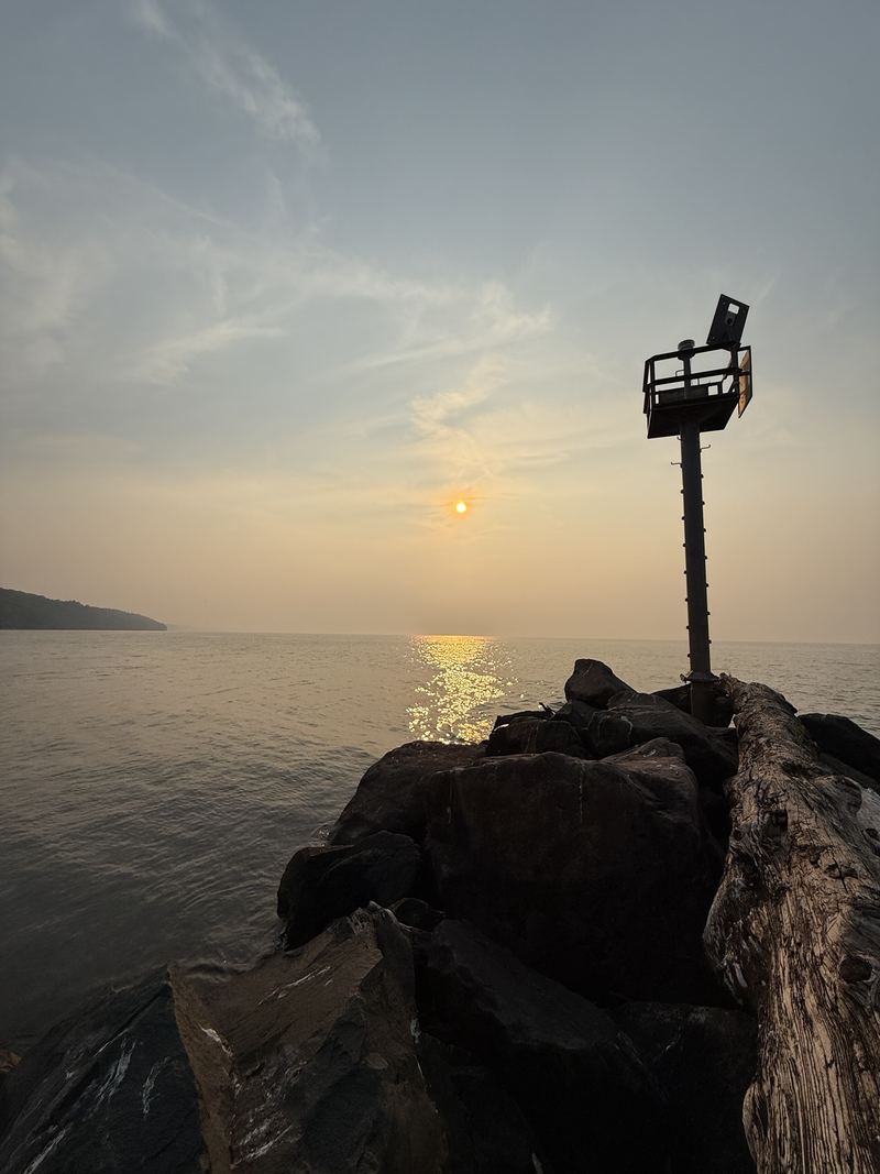
At the end of the Black River Scenic Byway, the river opens into a small harbor with a sand beach, picnic grounds and shelters, a boat launch and a suspension bridge to the North Country Trail. Watch the sunset from the breakwall.
A Gogebic County park on a high bluff above a long, open beach, with stairs down to the water. It’s a favorite for agate hunting, sunsets and campfires on the sand. Superior Falls is just a few miles west.
Beach03
About an hour · Porcupine Mountains
The Porkies shoreline
The Presque Isle River meets the lake in a jumble of rock, sand and driftwood, and wilder beaches line the park’s shore. A Michigan Recreation Passport is required.
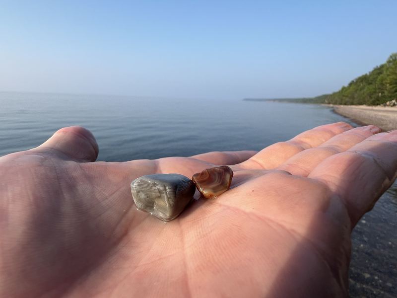
Agates are banded stones formed in the old volcanic rock around Lake Superior, then tumbled and polished by waves and glaciers. They are rare enough to make every find exciting, and the beaches here are good places to look.
Go after a storm. Big waves turn over the gravel and bring fresh stones to the surface.
Look for the glow. Agates are translucent and glow when the sun is behind them, so walk with the light in front of you.
Watch the waterline. Wet stones show their bands and colors best.
Know the rules. Taking stones is not allowed in every park, so check the rules wherever you hunt.
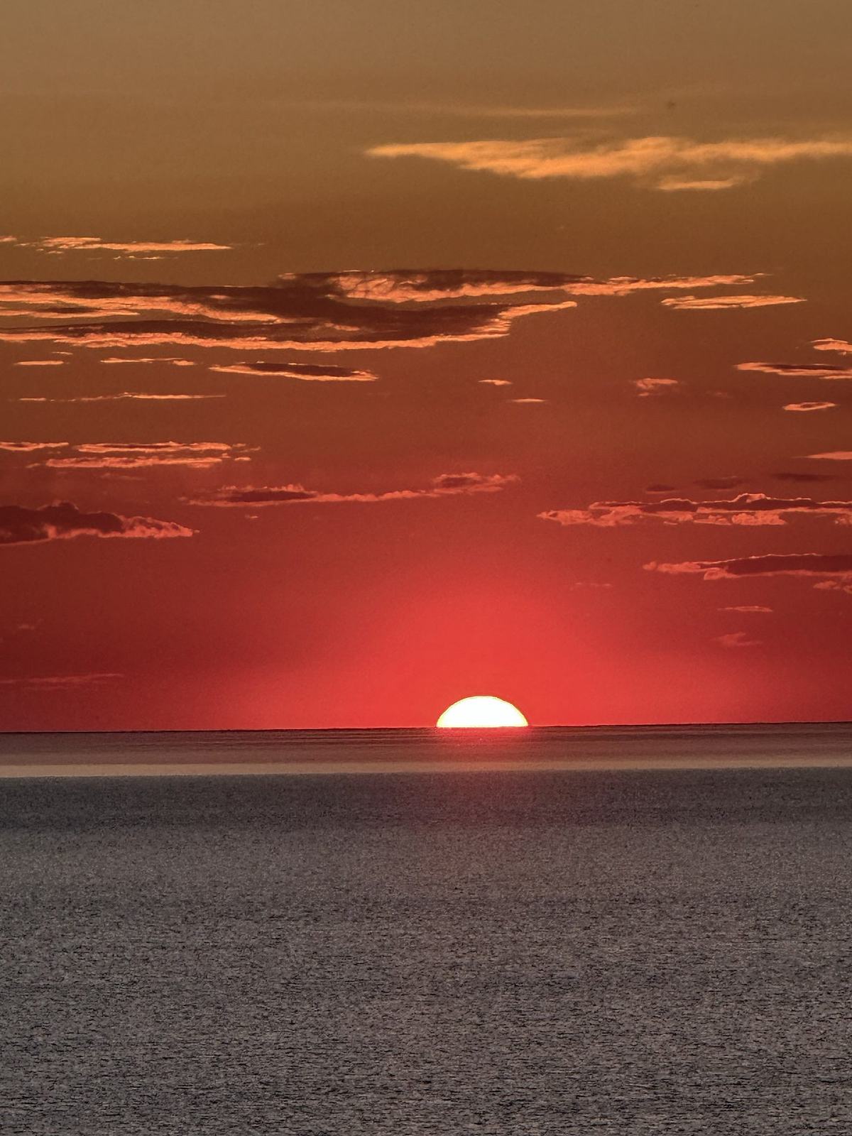
The shoreline north of Ironwood and Bessemer faces northwest, so summer sunsets drop into the lake late in the evening, around 9 p.m. Central Time in late June. In fall and winter they come much earlier and farther south.
Black River Harbor: walk out on the breakwall or stand on the beach by the river mouth. Little Girl’s Point: watch from the bluff-top park or down on the sand. The Porkies: the beach at the Presque Isle River mouth faces west over open water.
Check sunset times on our sunrise & sunset page, and bring a layer: it gets cool fast after the sun goes down.
A red Superior sunset
Respect the lake
Lake Superior safety
Cold water
Even in midsummer the water is cold enough to cause cold shock. Wade in slowly, keep swims short and watch children closely.
Waves & currents
Strong winds build big waves quickly, and rip currents can form along sandy beaches. Swim only in calm conditions and never alone.
Breakwalls & rocks
Wet rock and breakwalls are slippery, and storm waves wash over them. Stay off them in rough water.
Paddling
Conditions change in minutes on open water. Paddlers should hug the shore, wear a life jacket and check the marine forecast first.
About 14 miles. Take Powderhorn Road about three miles north to County Road 513, then follow the Black River Scenic Byway about 11 miles to Black River Harbor.
Can you swim in Lake Superior?
Yes, on calm summer days, and the sand beach at Black River Harbor is a popular spot. The water stays cold all year, so keep swims short and watch for waves and rip currents.
Where can I find Lake Superior agates near Ironwood?
Little Girl’s Point and the gravel beaches around Black River Harbor are good places to look, especially after a storm. Check the rules wherever you hunt, since collecting is not allowed in every park.
What is the best Lake Superior beach near Ironwood?
Black River Harbor has a sand beach, picnic grounds and a suspension bridge, all on the national forest. Little Girl’s Point is a county park on a bluff above a long beach. Both are great for sunsets.